PetraMapper turns real geological maps, mining records, and your own field notes into one offline map you can actually use on the outcrop — tap to identify rock units, scan for mines, and log strike & dip with survey-grade GPS.
Purpose-built for prospectors, exploration geologists, and rockhounds who work where the cell signal stops.
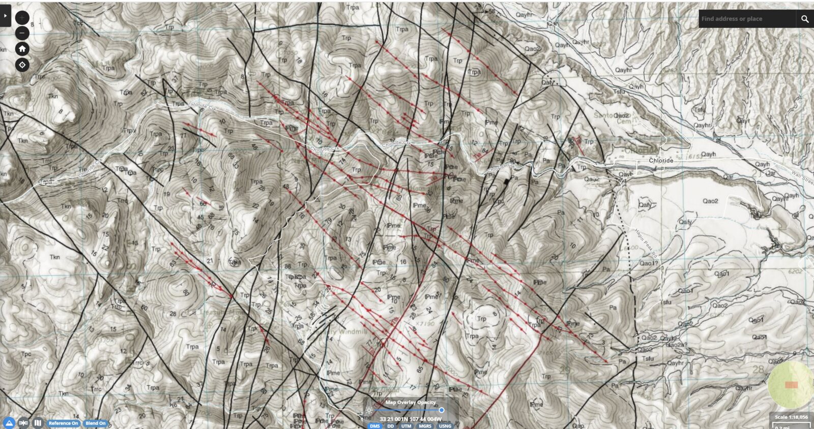
Tap anywhere to read the geologic unit, age, and lithology straight from USGS state and national maps.
Cross-references BLM claims, USGS MRDS/USMIN, MSHA, OSMRE e-AMLIS, and state records — then confidence-ranks every site in view.
Place FGDC structural symbols, log field stations with GPS-averaged positions, and track samples with chain-of-custody.
A hands-free audio tour that narrates the geology and mining history around you as you walk — grounded in real sources.
Download GeoJSON, GPX, structural CSV, or a full project bundle that packs stations, photos, and offline areas for a teammate.
Jump to NGMDB MapView and the USGS National Map for any spot, or capture a published map sheet as a georeferenced overlay.
Cache satellite and topo imagery before you leave the trailhead. Out in the field every station, measurement, photo, and drawing is saved on your device — then syncs automatically when you're back in range.
Every plan works fully offline. Start with a free trial — no card required to explore.
Core field mapping for casual prospectors and rockhounds.
The full field toolset for working geologists.
Everything in Advanced plus deep-research tools.
Install PetraMapper, cache your area, and start reading the ground — even where the signal doesn't reach.